
For many, the terms “geography” and “expedition” are synonymous.
Expanding knowledge of Canada’s geography through exploration and scientific expeditions, the Royal Canadian Geographical Society has a long history of funding both major and modest expeditions across the country.
Expeditions grant program
The goal of the RCGS Expedition Program is to enhance the appreciation, understanding and knowledge of the physical, environmental and cultural geography of Canada by recognizing and encouraging the spirit of discovery and adventure through expeditions taking place largely within Canada.
Committee members:
Zac Robinson (Chair), TA Loeffler (Vice-Chair), Jean-Marie Beaulieu, Jill Heinerth, Helen Sovdat, Tim Patterson, Patrick Maher, Christian Stenner, and Nicolas Groulx.
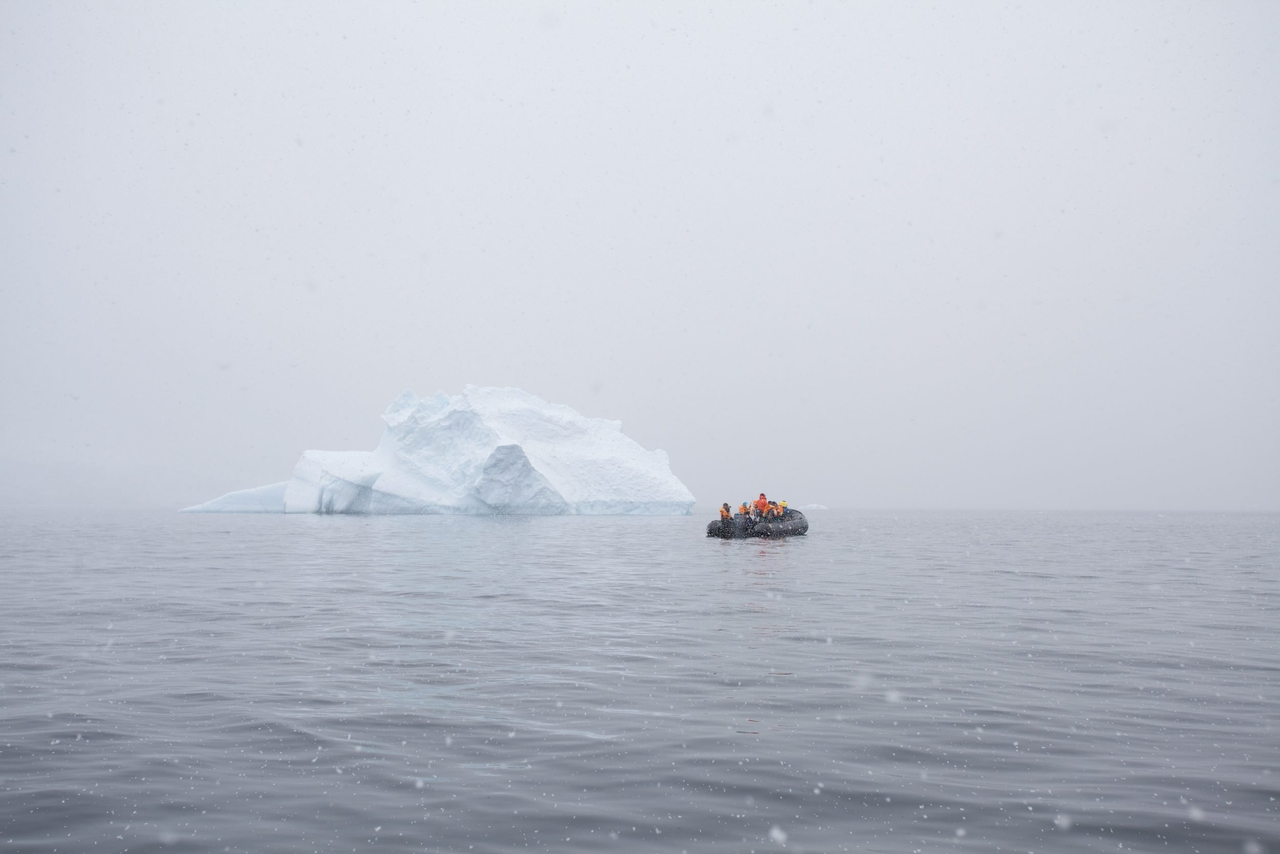
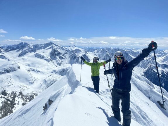
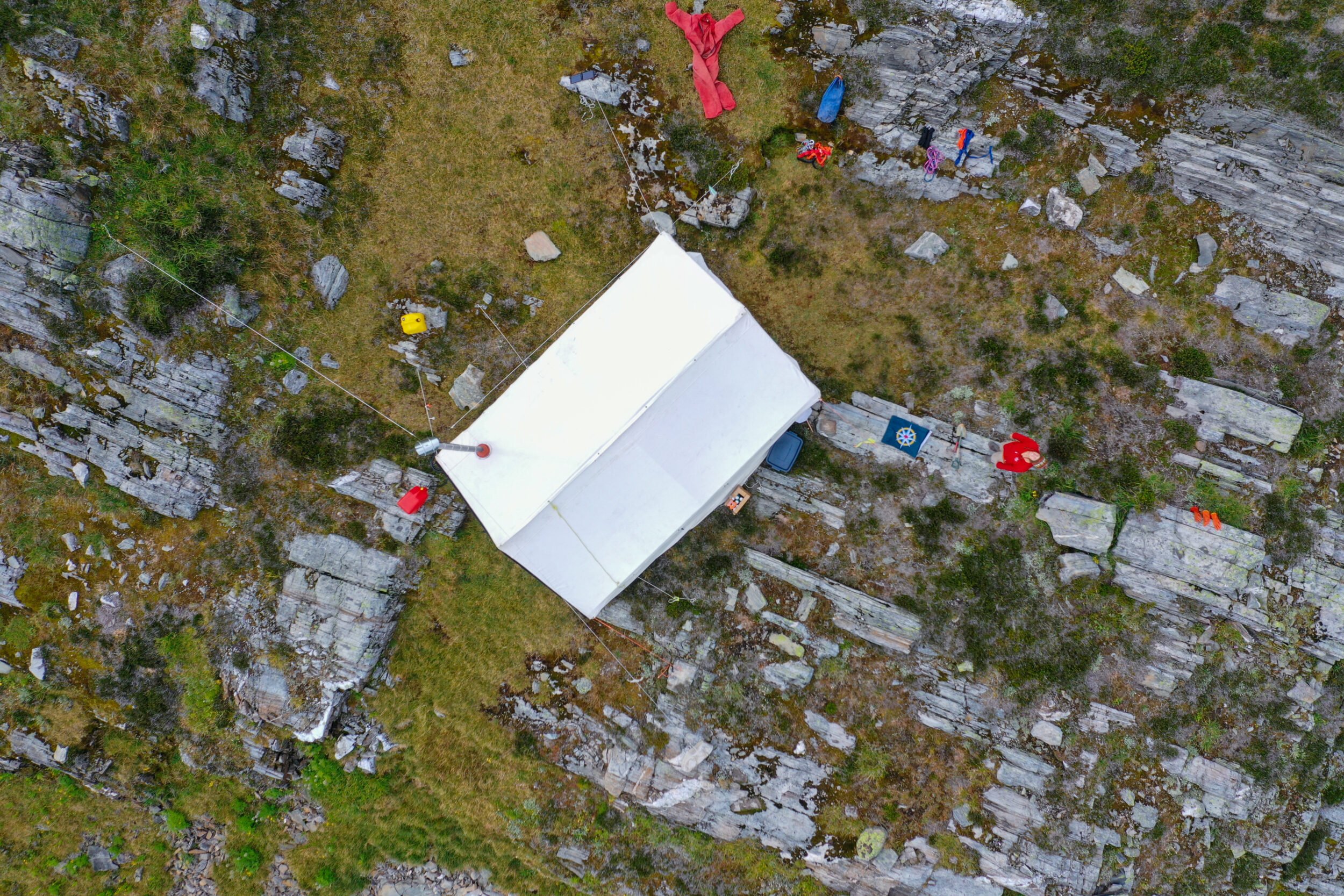
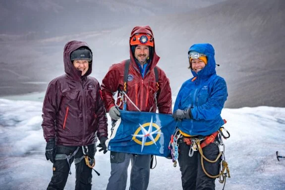
From coast to coast to coast and everywhere in between
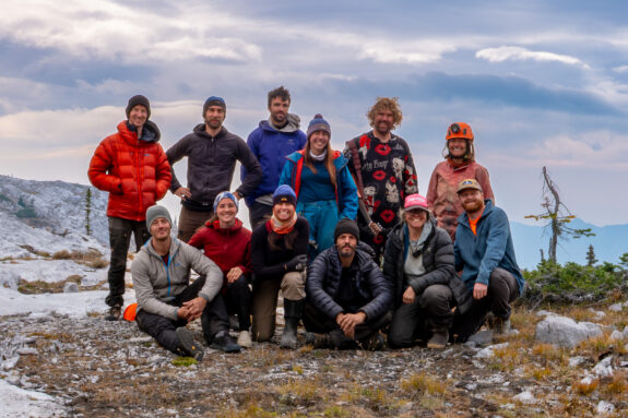
In 2026, the Royal Canadian Geographical Society is pleased to award five applicants with expedition funding and use of the compass rose flag. We are proud to support such a distinguished group of explorers who move through these lands with both curiosity and respect, while challenging their physical ability.
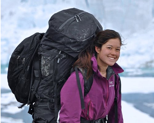
Nat Gillis Adventure Photography Expedition Grant
Up to $5,000 a year will be awarded to an emerging photographer with an expedition in mind that symbolizes the adventurous spirit and unbridled joy for nature that the late Natalie Gillis exemplified. Ms. Gillis was a Fellow of the RCGS, and was an enthusiastic member of our expedition and photo community. We remember her through this annual grant.
Those interested in applying to this grant can do so by filling out the form at the bottom of this page.
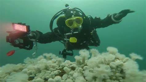
David Sawatzky Cave Expedition Grant
The David Sawatzky Cave Exploration Grant supports cave exploration and science in Canada. David Sawatzky began caving in 1971 and quickly earned a reputation as being one of the “hardest” of the Canadian cavers with a knack for making new discoveries and finding unexplored sections in older caves thought to be “finished.” He made significant discoveries in the caves of western Canada and on Vancouver Island, conducted some of the first cave dives in Castleguard Cave, mapped the Ottawa River Caves, and participated on a NatGeo sponsored expedition to Laos to map one of the largest river caves in the world. Professionally, he served as a physician in, and a contractor for, the Canadian Armed Forces, including 14 years as a consultant in hyperbaric and diving medicine at DCIEM (Defence and Civil Institute of Environmental Medicine) in Toronto. He retired with the rank of Lt. Col. in 2014. He now lives in Halifax, and is a strong supporter of Canadian cave exploration and science.
Those interested in applying to this grant can do so by filling out the form at the bottom of this page.